
Highland Neighbors by Source
Public records describe a Highland block in layers. The GIS map supplies parcel shapes and adjacency. Assessor cards add recorded owners and land facts. Precinct maps establish civic geography, while town minutes and a public chamber directory identify organizations active nearby. None is a live household roster, and each source has a different access path.
| Source | What it shows about a block | Access |
|---|---|---|
| Lake County GIS Hub | Parcel shapes, adjacent lots, roads, and available district context | Free interactive map; exact tool list varies |
| XSoft assessor | Recorded owner, situs, mailing, legal description, class, values, and parcel ID | Free owner, address, or property-number search |
| Highland and Lake precinct maps | Street-to-ward and HL precinct context | Official town map and separate county PDFs |
| VRG-24 report | Possible existing street or precinct voter report with protected records excluded | County request, eligibility, payment, and use attestation |
| Highland Griffith Chamber | Public businesses, churches, schools, nonprofits, and civic services | Public member directory by name, category, or ZIP |
| Town civic bodies | Projects, events, appointed roles, and public meeting records | Town pages, agendas, minutes, or a focused APRA request |
| LCPL Indiana Room | Older directories, yearbooks, newspapers, groups, and local history | Library databases and reference help |
A parcel owner can be an individual, trust, company, estate, town body, or public corporation. The tax mailing address may also differ from the Highland situs. Treat the owner field as a land-record fact. It does not name renters, children, visitors, or every person at the property.
Map a Highland Block
The Lake County GIS Hub is the visual starting point. Search or zoom to Highland, center the target address, and inspect the parcel polygon. Then work outward only to the lots that touch it or face the same short block segment. The research capture did not expose stable button names, a verified buffer control, or a bulk export. Use only tools visible in the live map.
- Find the target Highland address and confirm the mapped parcel shape.
- Write down the target parcel ID and the IDs of the immediately adjacent polygons.
- Open each ID in the XSoft parcel search and save the situs, owner, mailing, and legal description.
- Check the record date and distinguish a public, company, trust, or estate owner from a person.
- Use the full Highland by-street directory only when the question expands beyond the immediate block.
This flow is simple: address to GIS, parcel ID to assessor, then owner and land facts. A homestead field, when the card actually displays one, may support owner occupancy. It still does not identify all Highland neighbors inside the home.
Highland Blocks Along the Ridge
The official Highland town profile supplies context for a compact place shaped by Ridge Road, major regional roads, parks, and drainage features. Highland developed on a sand ridge amid wet ground. Cady Marsh Ditch, Hart Ditch, and the Little Calumet watershed help explain why floodplain, stormwater, drainage, and sanitary layers can matter when comparing nearby parcels.
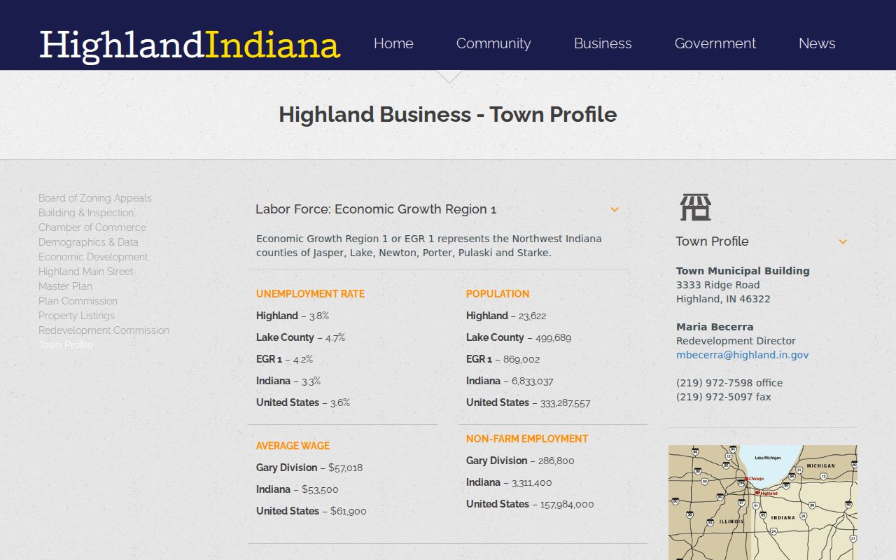
The profile makes the geographic setting clear, but current parcel boundaries and ownership must still come from the county systems.
Ridge Road, Kennedy Avenue, Indianapolis Boulevard, Cline Avenue, and Main Street are useful map anchors. A road, ditch, park, or municipal boundary can separate properties that look close on a mailing list. Keep the actual parcel and map layer date attached to any comparison.
Highland's municipal records add another precise layer. The Redevelopment Commission's 2024 annual report identifies 367 TIF parcels and reports $42,640,006 in incremental assessed value. Its schedule includes parcel IDs, named owners or entities, and period-specific values. That schedule can flag a redevelopment parcel near a block and point toward commission minutes, but it is not a complete assessor roll or a list of Highland neighbors. Public works records can also explain why nearby lots changed at different times. Town material names Wirth, Price Place, 38th, 42nd Place, Grace, Delaware, Condit, Woodward, Georgetowne, and Sara Lane in 2025 road work. Pair a named project with the parcel map, meeting record, and permit date before drawing any conclusion about a specific property.
Highland Neighbors by Precinct
The Lake County Highland precinct page posts separate PDFs dated June 10, 2026. The available HL labels include HL03, HL04, HL05, HL06, HL08, HL09, HL10, HL11, HL12, HL15, HL16, HL19, HL20, HL23, HL24, HL25, and HL26. These sheets connect streets with election geography.
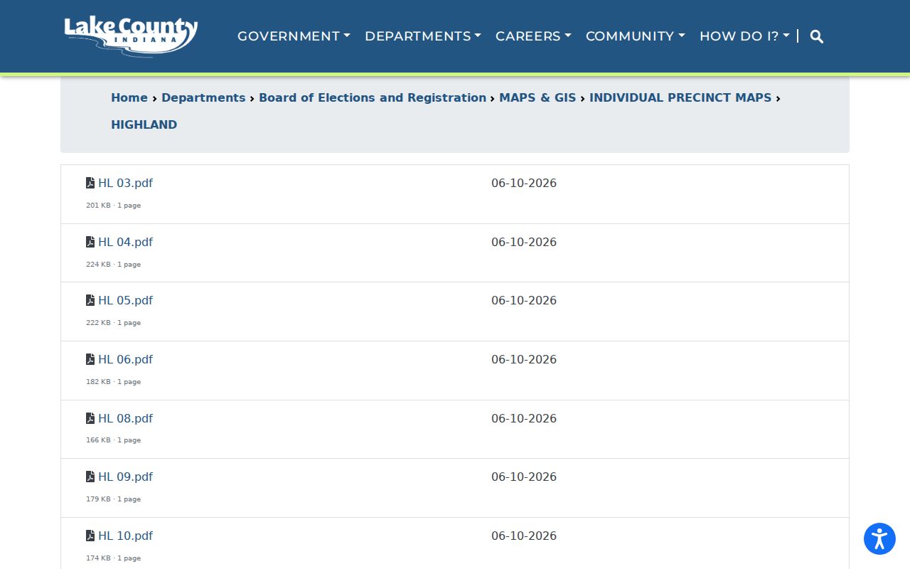
The image is a district tool, not a resident list. Compare it with the town's earlier ward map only for orientation unless an official boundary source confirms a change.
Precincts can help locate the right public meeting, polling context, or permitted voter report. They should never be used to infer party choice or how a neighbor voted. A street that crosses a line may place close homes in separate precincts.
Note: Ward and precinct labels organize civic records; they do not identify every person living on a Highland block.
Indiana Block Voter Limits
IndianaVoters checks one registration using first name, last name, date of birth, and county. It is not a Highland street browser. A broader county report uses the VRG-24 process. The form asks for an eligible requester category, contact and payment information, a signature, the requested report, and agreement to limits on solicitation and non-political transfer.
An existing walking list may be available by street, district, or precinct if Lake County maintains that report and the request qualifies. The county should confirm its current format and fee. Protected records stay out. Under Indiana's Address Confidentiality Program rules, a participant's voter name, address, phone number, and identifying information are confidential except for a qualifying law-enforcement written request or court order.
The 2026 Indiana voter guide describes the county-file route as a controlled disclosure, not an open download for casual block browsing. A requester should specify the existing report sought and accept the stated limits. The separate Highland precinct PDFs are the safer first step when the goal is simply to learn which election area covers a street.
A no-match in the individual tool does not prove a person moved. The inputs may be wrong, the person may not be registered, or legal protection may apply. Do not scrape or publish a block voter roster.
Highland Community Directory Layer
The Highland Griffith Chamber member directory offers a public search by name, category, and ZIP. The inspected directory showed about 260 results. It can surface nearby churches, schools, nonprofits, funeral homes, service groups, and businesses. These entries are public organization contacts, not household data.
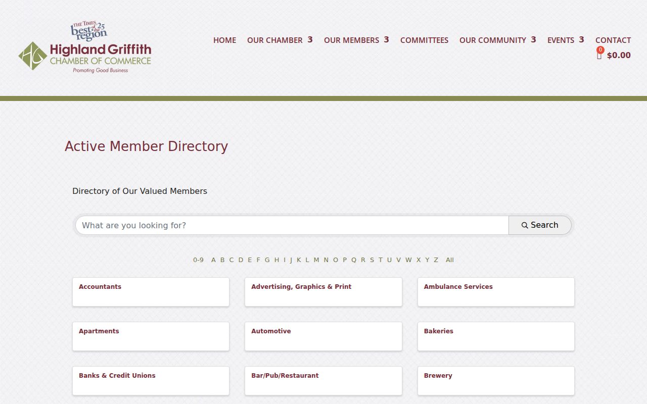
The public filters add community context to a block without claiming that an organization's members live nearby.
Highland Main Street, Parks and Recreation, Community Events, the Tree Advisory Board, Plan Commission and BZA, Redevelopment Commission, Sanitary District, Traffic Safety, Police Commission, and School Town of Highland also leave public meeting or program records. Use those materials for projects, events, and official appointments. Private participant and membership lists remain private unless the organization itself publishes them.
Highland Neighbor Contact Points
No official townwide HOA or neighborhood-association membership directory was found. The responsible fallback is to identify the subdivision on the assessor card or recorded plat, ask the Town Clerk or LCPL whether an association name is known, and search the Recorder for public covenants or association instruments. Do not fill the gap with an unverified roster.
Town civic records
Town of Highland
Boards, commissions, public meetings, forms, and events. Published appointments are public; general member lists are not.
County land records
Lake County Recorder
Recorded plats, covenants, deeds, and association instruments. The portal is account gated, with office access in Crown Point.
Local history help
LCPL Indiana Room
Directories, yearbooks, newspapers, local groups, microfilm, and reference help for a named Highland place or date.
Churches, schools, and civic groups may publish public event pages or histories. Their private rosters are outside a lawful neighbor search. Ask for a public source, not personal member data.
Official Highland Neighbor Evidence
Official sources and commercial neighbor tools are not interchangeable. County and town records disclose their custodian, field meaning, and date. Commercial compilations can merge stale addresses or people with similar names. They may offer convenience, but they should never outrank the official parcel, map, or office record.
| Question | Official Highland route | Commercial category |
|---|---|---|
| Which lots touch? | Lake County GIS parcel map | Map may omit legal parcel context |
| Who owns a lot? | XSoft assessor card, then deed if needed | Name may be old, merged, or unexplained |
| Which civic groups are nearby? | Town records and Chamber directory | Listings may be paid or stale |
| Who lives inside? | No complete public household roll | Claims require independent proof and lawful use |
Keep a citation for the source, retrieval date, parcel ID, and field label. When two sources conflict, ask the custodian before making a claim about a Highland neighbor.
Protect Highland Neighbors' Privacy
Parcel maps do not reveal renters, household members, children, visitors, utility customers, delivery accounts, private phone numbers, or private email addresses. DMV data is restricted. Address Confidentiality Program records receive special protection. A town meeting reference or chamber listing also does not create permission to collect a private roster.
Use only the minimum facts needed for civic curiosity, a boundary question, a public project, reconnecting through an appropriate public channel, or personal safety. Correct an error through the office that keeps the record. For commercial data, use the provider's official privacy request and share the least identity proof required.
Lawful use. Use Highland neighbor records to understand the block, not to monitor, intimidate, stalk, or harm anyone. Respect a person's choice not to engage.