
Highland ZIP Coverage at a Glance
USPS material identifies 46322 as Highland's primary post-office ZIP. Census place results also show Highland intersecting five ZIP Code Tabulation Areas, or ZCTAs. Those statistical intersections are not a list of postal addresses inside town limits. The table keeps confirmed postal facts apart from areas where official address-level coverage was not established.
| ZIP or ZCTA | Relationship to Highland | Post Office or Check | Boundary Note |
|---|---|---|---|
| 46322 | Primary Highland postal ZIP in official USPS material | Highland Post Office and USPS address lookup | Use a full address; the ZIP does not identify an occupant |
| 46319 | Census ZCTA intersects the Highland place | USPS address lookup | Exact Highland share was not established |
| 46323 | Census ZCTA intersects the Highland place | USPS address lookup | Intersection is statistical, not an address list |
| 46324 | Census ZCTA intersects the Highland place | USPS address lookup | Intersection is statistical, not an address list |
| 46406 | Census ZCTA intersects the Highland place | USPS address lookup | Exact address exceptions remain unverified |
No official Highland ZIP split year, complete city-line comparison, or ZIP-by-ZIP population table was located. This directory therefore does not treat every intersecting ZCTA as a postal ZIP that serves every home. It uses USPS for routing and county or town geography for jurisdiction.
Highland ZIP 46322 Explained
The Highland Post Office listing gives 8500 Kennedy Avenue, Highland, IN 46322-1619. That official page is the strongest confirmed postal anchor in the research. It identifies a facility and its routing code, not the residents or businesses at another address.
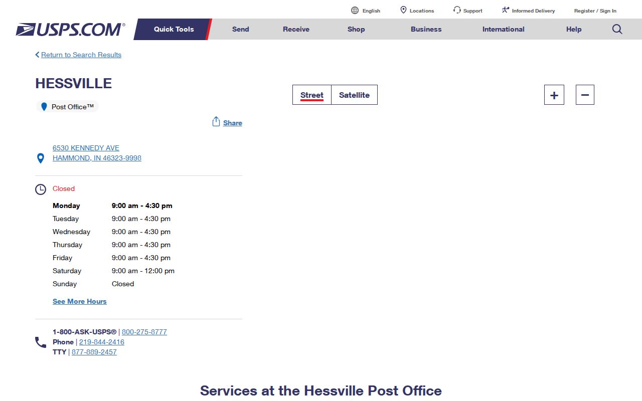
The captured listing supplies a place to verify the main Highland postal context before testing an individual address in the USPS ZIP Lookup tool.
The ZIP+4 suffix on the post-office address is more precise than the five-digit code. It helps route a smaller delivery segment. It still does not describe town limits, parcel ownership, ward assignment, or household membership.
Five ZCTAs Touch Highland
Census search results associate the Highland place with ZCTAs 46319, 46322, 46323, 46324, and 46406. A ZCTA is a Census Bureau statistical area designed to approximate ZIP geography. USPS, by contrast, assigns postal codes for mail delivery. The two systems serve different jobs.
This distinction matters in a compact town bordered by Hammond, Munster, Schererville, and Griffith. A Census table may count a geographic intersection while a specific address uses a different postal label. County records may also point to an office in Crown Point. None of those place names should be silently replaced with Highland.
ZIP directory tip. Treat 46319, 46323, 46324, and 46406 as statistical intersection leads until USPS confirms a full Highland address.
Narrow Highland Records by ZIP
A ZIP code directory can shrink a broad address search, but the official tools do not offer one shared ZIP filter. USPS verifies postal routing. Lake County GIS can map a known address or parcel in relation to town and district layers. XSoft accepts address, owner, property ID, and broad text, yet no ZIP field was exposed in the inspected basic or advanced controls. IndianaVoters requires Lake County rather than ZIP.
- Enter the complete street address in the USPS ZIP Lookup. Preserve the city, state, five-digit ZIP, and ZIP+4 exactly as returned.
- Check the address or parcel in the Lake County GIS Hub. Use the mapped municipal and parcel context rather than assuming the postal city sets jurisdiction.
- Search Lake XSoft by address or property ID. Compare situs, mailing, owner, and legal-description fields.
- For one voter, use exact name, date of birth, and Lake County at IndianaVoters. Do not convert that individual check into a ZIP-wide household list.
- Once the ZIP leads to a named road, use the Highland street directory for the full street and parcel workflow.
When a portal lacks a ZIP field, do not pretend a city-name or broad-text search is equivalent. A GIS map or an existing public report may help. For a record not posted online, ask the custodian for a specific existing file under Indiana APRA.
Highland Address Fields Differ
The same property can carry several address types. The XSoft example for 3820 Ridge Road makes the problem concrete: its situs is in Highland while the owner's tax-mailing address is in Chicago. A person reading only the mailing line could wrongly move the parcel out of town or wrongly place the owner at the site.
| Address Field | What It Means in Highland Records |
|---|---|
| Situs address | The physical parcel location used by assessor, GIS, and permit records. |
| Mailing address | The destination for tax notices or correspondence; it may be outside Highland. |
| Legal description | The recorded lot, addition, or land description used in deeds and plats. |
| Registration address | A voter's declared residence, subject to protected-record rules. |
| Business address | An entity, office, license, or registered-agent contact that may not be a home. |
| Postal city and ZIP | USPS routing labels that can differ from a municipal boundary. |
Write down the field label with the value. That small habit prevents most ZIP directory errors and makes later deed, permit, or voter checks easier to audit.
Parcel IDs Resolve Highland Confusion
A parcel identifier can remain useful when a postal label or street number changes. Lake County examples use dotted strings such as 45-07-22-355-011.000-026. The inspected portal did not publish a meaning for each segment, so use the whole number as a lookup key rather than decoding it from guesswork. This preserves a stable bridge between systems even when an old deed omits the street number or a mailing city differs from the parcel's physical town.
Legal descriptions provide another fixed point. They may name an addition and lot, such as Highland Municipal Complex Add Lot 1, or use subdivision and measurement language. When an address fails in a recorder or historical search, the parcel ID, subdivision, lot, and legal description can bridge the gap.
The systems remain separate. GIS shows location and adjacency. The assessor shows the parcel card. The Recorder connects title instruments, and the town permit form records project and inspection facts. Join those facts only after the identifier matches. Record the date and keeper too, since each system can be refreshed on a different schedule.
Highland ZIPs Meet Wards
Highland's street grid offers a local layer that a ZIP alone cannot provide. Ridge Road, Kennedy Avenue, Indianapolis Boulevard, Cline Avenue, Main Street, 81st Street, and 99th/101st Avenue help orient records across the town's compact area. The official ward map divides Highland into wards 0 through 5, while Lake County publishes separate Highland precinct sheets.
The 2026 precinct page includes HL03, HL04, HL05, HL06, HL08, HL09, HL10, HL11, HL12, HL15, HL16, HL19, HL20, HL23, HL24, HL25, and HL26. These maps place streets in election geography. They are not lists of voters or households. A street-to-precinct result should still be checked through the election office if a boundary is critical.
Highland's ridge and the Cady Marsh, Hart Ditch, and Little Calumet drainage setting also explain why parcel, floodplain, stormwater, and public-works layers appear in local map work. Those features can identify land context even when the ZIP stays the same.
Highland ZIPs Versus Town Limits
A Highland mailing label does not prove that a parcel lies inside the town, and a ZCTA intersection does not prove that every address uses that code. For a firm location, compare three facts: USPS routing for the complete address, the GIS municipal boundary, and the assessor's situs parcel. Preserve any disagreement rather than choosing the label that looks most familiar.
- ZIP and ZIP+4
- The five-digit delivery area and a more exact four-digit routing segment.
- ZCTA
- A Census Bureau statistical approximation of ZIP geography, not a USPS route list.
- PO-box ZIP
- A postal code used for boxes rather than ordinary street delivery.
- Unique ZIP
- A code assigned to one high-volume organization; none was confirmed for Highland.
- Carrier route
- A set of delivery stops assigned within postal operations, not a resident directory.
The research found no official split or realignment year and no complete list of boundary exceptions. That gap should remain visible. It is safer to verify one address than to publish an unsupported claim about an entire Highland ZIP code.
Highland ZIP Access Channels
Online tools are only the first layer. USPS provides address-to-ZIP, city-and-state-to-ZIP, and cities-by-ZIP searches, while warning that the result does not confirm a person or company at an address. Lake County GIS can map parcels and may supply requested map data when the interactive view is not enough. XSoft offers owner, address, property-ID, and broad-text searches but no verified ZIP filter.
The Recorder's portal is account-gated, so deeds may require an account or office visit. Highland permit, inspection, ward, planning, and code records can be requested from the town as specific existing records. The election route is an individual IndianaVoters check or an eligible VRG-24 request for an existing report. LCPL adds historical street directories, maps, newspapers, and yearbooks when the question concerns an older address.
School attendance, utility customers, driver addresses, and private delivery files were not found as open Highland directory sources. Do not use the ZIP to infer those private relationships.